
When we were young boys, my brother and I sometimes paddled a battered aluminum canoe on the Mohican River in north-central Ohio. We’d launch from a riverside campground at Mohican State Park, where my family often parked our camper, to spend a leisurely afternoon chasing herons and kingfishers downstream and dodging other canoeists on the popular waterway.
A dozen river miles later, we’d pull out the boat in a Knox County hamlet called Greer. Looking back, I suppose our parents were confident we’d be safe because the Mohican was (and is) a placid stream heavily used by canoe rental liveries. But to be honest, back then we had no idea what to expect on that stretch, and information for paddlers was hard to find.
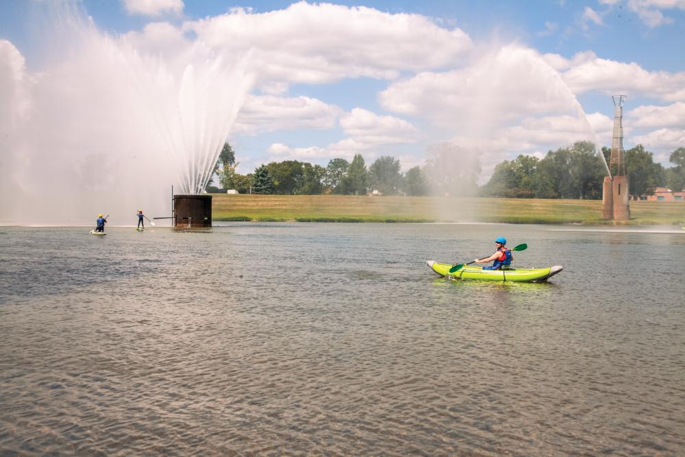
Today, intrepid boaters and their canoes, kayaks, and, increasingly, stand-up paddleboards have an outstanding resource to help them navigate some of the most popular paddling waters in Ohio. Fourteen streams and three sections of Lake Erie shoreline are now designated “State Water Trails” by the Ohio Department of Natural Resources.

Fourteen streams and three sections of Lake Erie shoreline are now designated “State Water Trails” by the Ohio Department of Natural Resources.
One of those streams is the Mohican, and today’s paddlers can view the Mohican River Water Trail at the ODNR website or download a brochure to find information about access points (including Greer Landing), picnic areas, and points of interest, as well as low-head dams and other hazards along the way.
A combination of safety manual, recreational guide, and marketing campaign, ODNR’s water trail program is designed to “promote the awareness of public paddling access while increasing safety by partnering with local communities to develop designated water trails on Ohio’s waterways.”
The program was launched in June 2005, when the Kokosing River Water Trail became the first designated water trail. The program surpassed the 1,000-mile mark in June 2022, when a 36-mile stretch of the Portage River became the 17th official Ohio water trail.
Although the program is coordinated by ODNR, “it’s not an ODNR-driven effort,” says Mark Allen, statewide trails coordinator for the state agency. The process of developing a water trail includes significant involvement from the local communities along the waterway.
“It’s more of a grassroots effort, where we have to capture that buy-in from local leaders, land managers, and community members,” Allen says. “We want to make sure there is buy-in from all the stakeholders along the trail, that they are in support of providing this as an asset for their community.”
ODNR guides the talks between local communities; user groups; and state, federal, and local park districts, often crossing several county boundaries. Once the groups reach an agreed-upon route, ODNR helps pay for brochures, maps, and signs. Additional promotion is up to the local communities, and some do more than others. Communities along the Tuscarawas River, for example, created an online “story map” that traces the route of the water trail with photographs and GIS maps.
Drawing attention to the scenic and recreational values of a river does seem to encourage local enjoyment of the resource. An analysis of canoe and kayak registrations by Ohio State University professor Ozeas Costa Jr. and Bob Gable of ODNR’s Scenic Rivers program found a strong correlation between the state’s scenic rivers and the percentage of nearby residents with canoe and kayak registrations.
Ohio water trails offer a surprising variety of scenery, challenges, and hazards, Allen says: Paddlers navigate a series of locks along the Muskingum River (see related story here) or a Class V series of rapids on the Cuyahoga River (for expert paddlers only); the Mad River has excellent trout fishing; and the Lake Erie Islands trails offer spectacular scenery in the lake’s most popular tourist area (but watch out for power boaters!).
The trail maps provided by the water trail program are especially valuable for paddlers, says Mary Spikowski, a founding member of Columbus Paddling Club. The club’s 150-plus paid members schedule trips throughout the country, including some each year in Ohio. A map of in-stream hazards such as low-head dams, bridge abutments, and rapids can be lifesaving, she says. And identifying access points prevents conflicts with landowners.
“It’s very helpful to know which side of the river we are allowed to put in and where we can park. We want to stay legal, but sometimes it is hard to know.”
Click here to view maps or download brochures for Ohio’s designated state water trails.


